
BasicAirData GPS Logger
Maps and travelRecord trips offline, add location annotations, and export tracks as GPX, KML, or text with BasicAirData GPS Logger.
By BasicAirData
Get BasicAirData GPS Logger
Store availability and purchase options can vary by country. Check the listing for your device.
Screenshots
Select a screenshot to enlarge it.
About BasicAirData GPS Logger
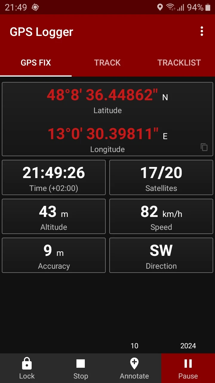
BasicAirData GPS Logger records positions and routes on an Android phone. It works offline and keeps its interface focused on recording rather than displaying an integrated map. The GPS view shows coordinates, altitude, speed, satellite information, and direction.
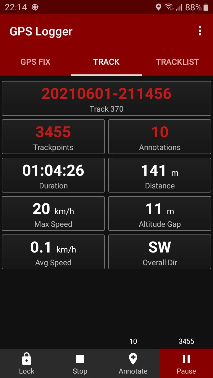
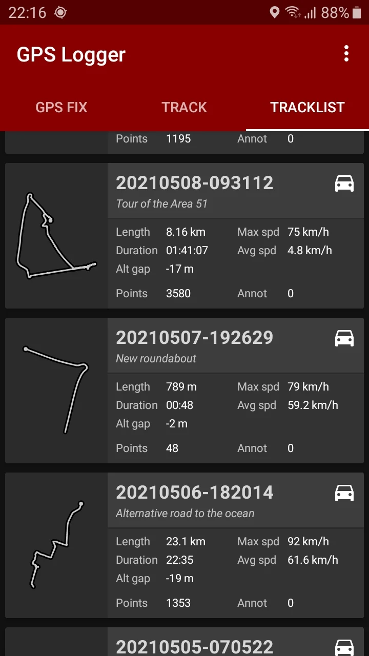
During a trip, you can add annotations and pause recording. The track list gives access to saved journeys, which can be shared as GPX, KML, or text files. Use a separate compatible viewer when you want to see a recorded route on a map.
The app is free and open source. Its publisher documents background recording and recommends reviewing Android battery restrictions so the system does not interrupt a session. Some altitude-correction features have additional setup requirements. Check the publisher's getting-started guide before using it to record a longer journey.
What you can do
- Offline GPS track recording
- Location annotations
- Trip statistics
- GPX, KML, and text export
Free features and limits
No integrated maps; use an external viewer for map display. Altitude correction may require additional setup.
Image credits
App icon
BasicAirData GPS Logger app icon
Screenshot 1
GPS coordinates and live readings
Screenshot 2
Statistics for a recorded track
Screenshot 3
Saved tracks and route outlines